


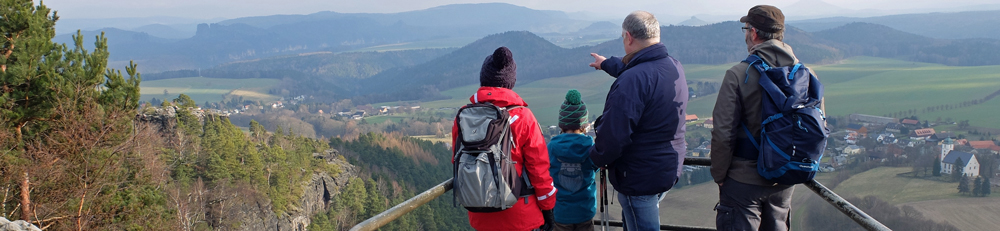

Get here easily – by bus, train, boat, ferry … the public transport, ÖPNV, takes you to the most beautiful hiking and touring areas hassle-free, if you wish, even with your bike. Combination tickets for various kinds of transport also make your trip easier. How you get here from outside the region, you can find on the arrivals page. For a full view of all lines of all the partners in the public transport network please see the network map of the Saxon-Bohemian Switzerland National Park Region below!
Find all information at once in the free hiking roadmap that you can pick up at many of the visitor facilities or download here (in German and Czech).
The following links provide route queries for each stop:
Verkehrsverbund Oberelbe
Oberelbische Verkehrsbetriebe Pirna-Sebnitz mbH
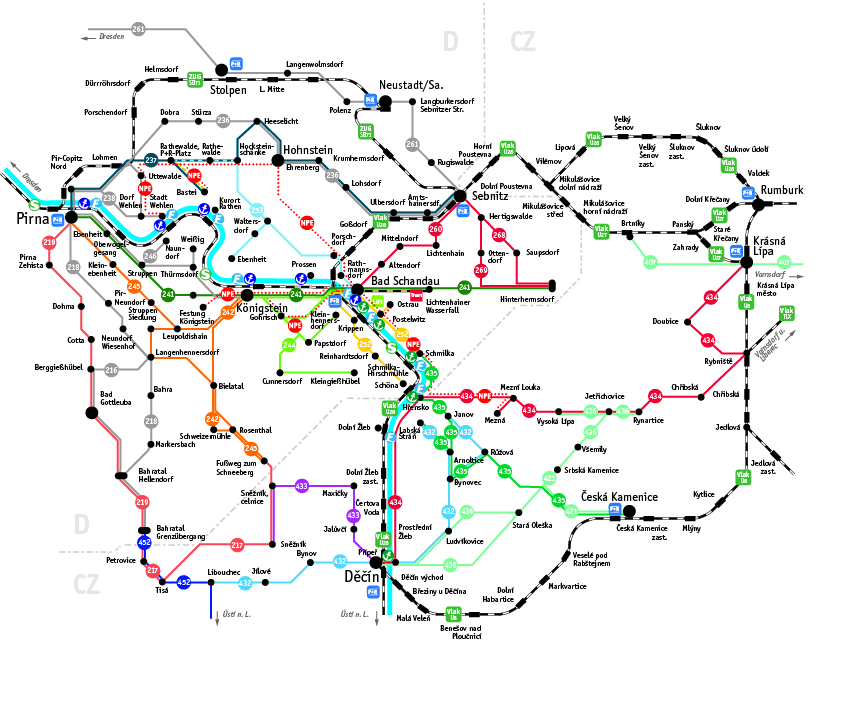
Public transport network map for entire National Park Region – click to enlarge image.


