


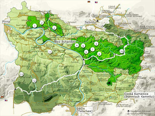
Maps with the current access routes to summits can be found as PDF files under each link – Note: Some of the access routes shown have not been marked in the field yet.
Copyright information: The base maps used are subject to the provisions of copyright; the rights belong to Publisher Berg- & Naturverlag Rölke, Dresden. In the context of copyright, the maps can be used for private and non-commercial and non-public use exclusively. Any additional uses are explicitly subject to prior approval.
Individual maps have been slightly edited by the National Park Authority.
The following sites are available in German only; however, check these sites if you’re looking for climbing area maps.
|
A: National Park |
B: Conservation Area |
|
| 1. Wehlen Area | 6. Affensteine | 11. Rocks Area |
| 2. Rathen Area | 7. Small Zschand | 12. Bielatal |
| 3. Brand Area | 8. Great Zschand | 13. Erzgebirge Area |
| 4. Schrammsteine | 9. Wildenstein Area | |
| 5. Schmilka Area | 10. Hinterhermsdorf Area | |
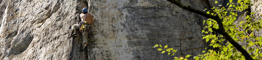
Bohemian Switzerland National Park Summits


